

Old buildings next door
Old masonry and heritage fabric are the neighbours that need the most care. Record them before the first pile goes in.
Condition and dilapidation surveys
A pre-construction condition survey answers that before anyone asks. With SpatialSense you walk the buildings next to your site with a 360° camera, add a laser scan if you have one, and keep a dated baseline that opens next to any later visit, in a browser.
A condition survey is only as good as how easy it is to use later. Most are a folder of photos and a PDF, filed months before anyone needs them. In SpatialSense the survey is a dated 360° walk, plus a scan if you have one, placed on the plan or the map. When a neighbour reports a crack, you open the same spot on the baseline date and on today, side by side, and everyone looks at the same record.
Walk the buildings next to your site before work starts. After work that shakes the ground, such as piling, digging or demolition, walk the same route again and compare.
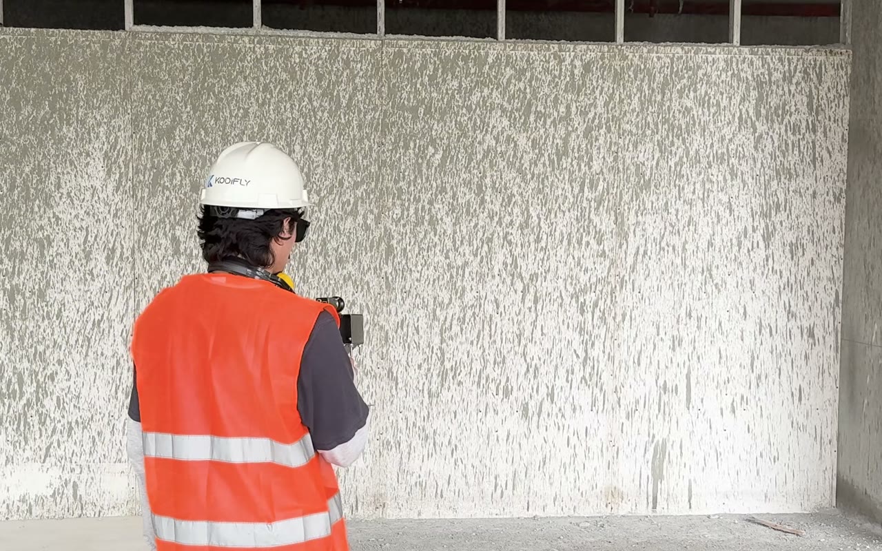
Walk past the neighbouring buildings, shared walls and the street. The Trace app records the walk and draws your route on the site plan.
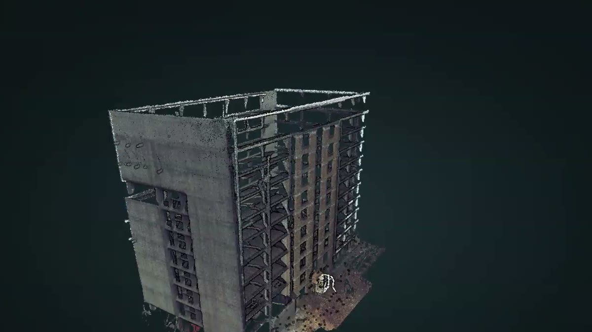
Upload it to the same project. Scans from any scanner open, in E57, LAS, LAZ, PCD or PLY.
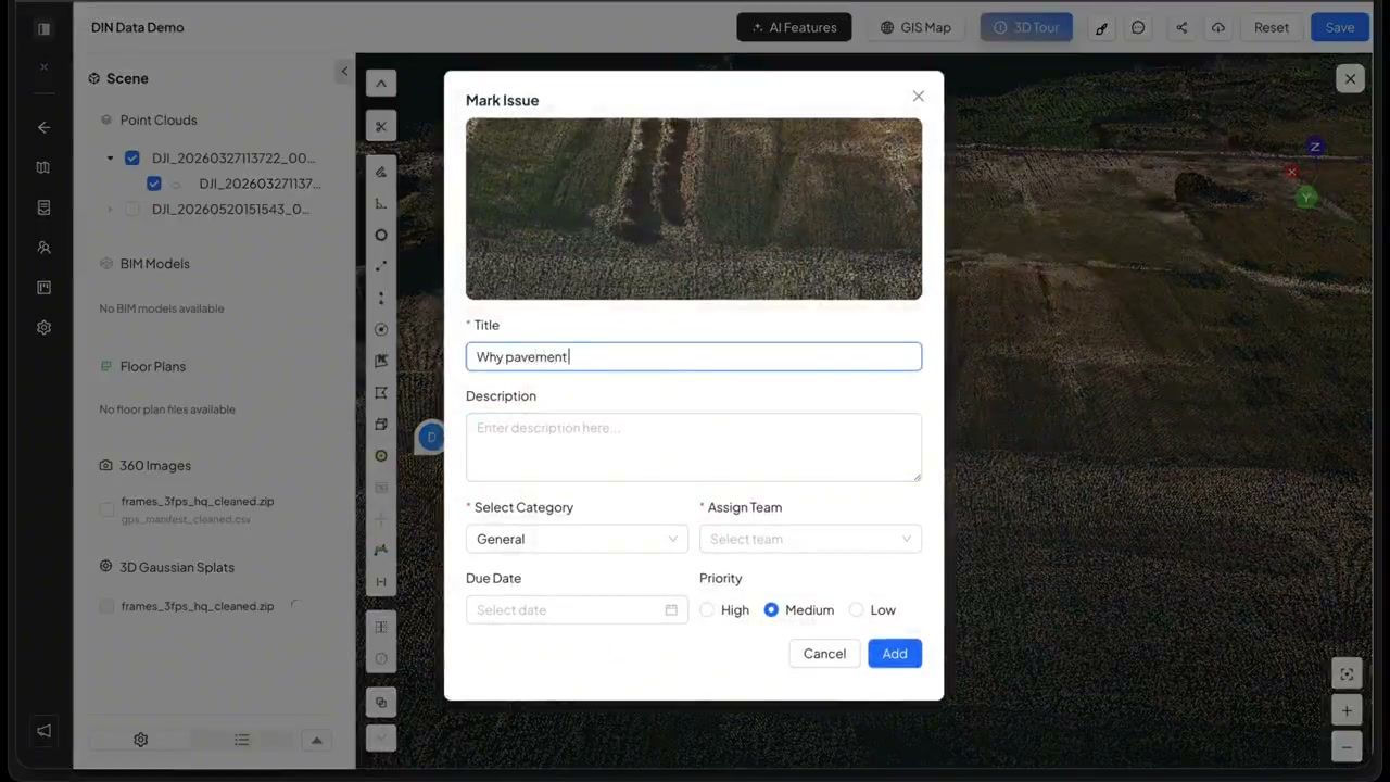
Pin every existing crack, stain or broken tile to its spot in the walk, with a note. Now it is on record from before you started.
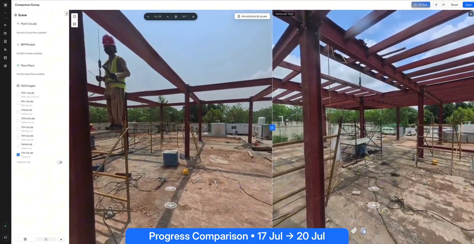
If a neighbour reports new damage, open the same spot on the baseline date and on the latest walk, side by side.
Many contracts and authorities ask for a condition survey before work near existing buildings, so the survey usually exists. The trouble starts months later, when someone has to show what it recorded.
A folder of numbered photos says little about where each one was taken, so finding the right wall can take an afternoon.
A photographer picks what looks important on the day. The crack that matters later is often just outside the frame.
A PDF in a drawer is your word against theirs. A record both sides can open and walk through settles things sooner.
A good baseline protects everyone. The neighbour can show damage that is new, and the contractor can show damage that was already there. Both are easier when the record is complete, dated and easy to open.
Old masonry and heritage fabric are the neighbours that need the most care. Record them before the first pile goes in.
With a scan in the project, take distances and heights in the browser, on the same date as the walk.
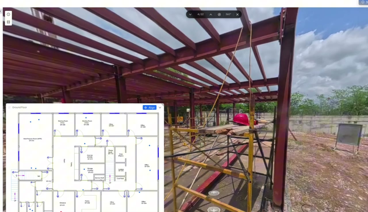
Click a point on the plan and step into the walk at that spot, on any date.
The same condition survey, kept two ways.
| SpatialSense baseline | Photo folder and PDF | |
|---|---|---|
| Coverage | Every surface the 360° camera passed, plus a scan if you add one. | The photos someone chose to take. |
| Finding a spot later | Click the spot on the plan or the map. | Search by photo number and memory. |
| Comparing with today | Baseline and later walk side by side, from one locked viewpoint. | Two photos, rarely from the same angle. |
| Sharing with the other side | A link that opens in a browser without a login. | A PDF by email. |
| Who can open it | Your whole team, with unlimited users on every plan. | Whoever has the file. |
Do this before work starts on site.
A record of the condition of buildings and structures next to a site, made before work starts. It is also called a dilapidation survey or a schedule of condition. If a neighbour later reports damage, the survey shows whether it was already there.
It covers far more than a set of photos, because it records every surface the camera passed, dated and placed on the plan. Close-up photos of individual cracks, and a scan if you have one, add detail. Check what your contract or authority asks for: SpatialSense keeps the record, it does not decide what a survey must contain.
Yes. Walk the same route again after each phase of work and open any two dates side by side, from one locked viewpoint.
Yes, if you choose. Share a link that opens in a browser without a login, and revoke it when it is no longer needed.
Start with a 30-day free trial of the full platform, with no card details. Pricing is per site with unlimited users, and current prices are on the pricing page.
Record the buildings next to your site before work starts, and keep the record where anyone on the project can open it.