

Any pair, side by side
Two dates, or a photo and the model, in one split view.
Progress, side by side
Comparing 360° photos from different visits is the quickest way to see what changed, if you can find the same spot twice. In SpatialSense, Compare 360 finds the matching photo on the other date for you, lines up the direction, and turns both views together.
A 360° walk is easy to record and hard to compare, because no two walks stop in exactly the same places. Compare 360 in SpatialSense removes the hunting: pick a photo on one date and it finds the nearest photo on the other, turns it to face the same way and tells you how close the match is. Lock the two views and they turn together, so you look at the same column, the same wall, the same corner, on both dates.
Walk the site on each visit, and the comparison does the finding for you.
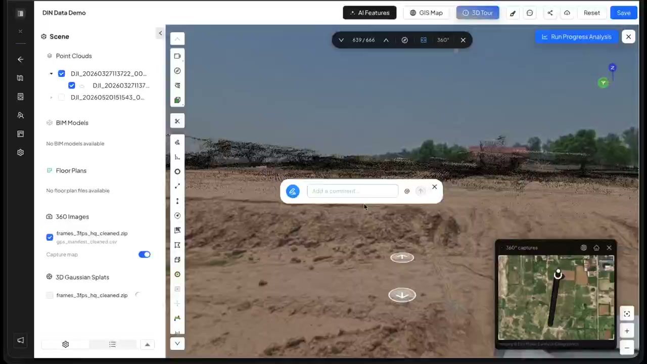
Upload each walk to its own dated survey. Footage from any 360° camera works, or record it in Trace.
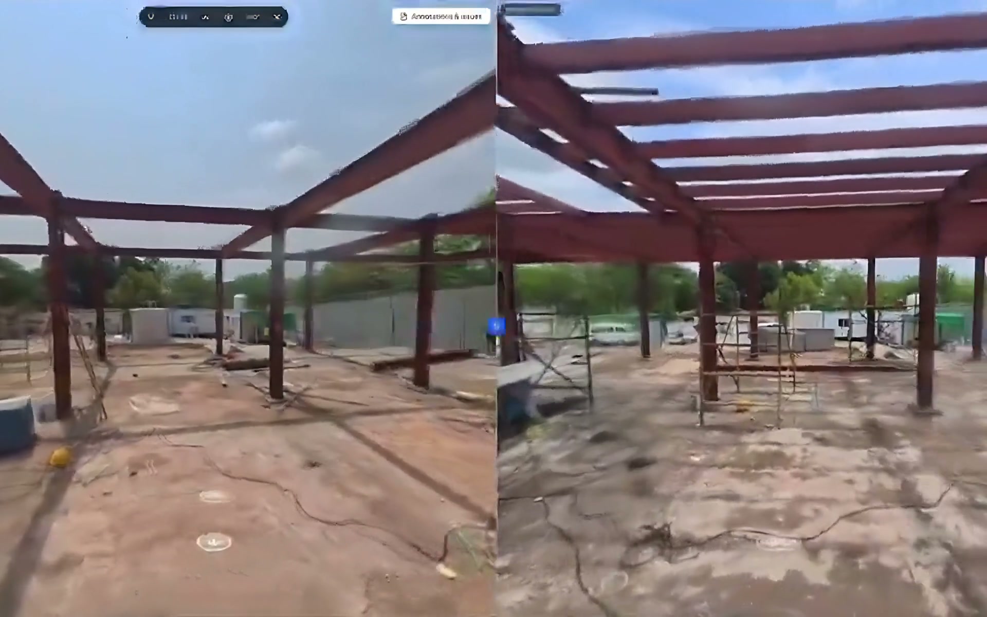
Choose a photo on one date. Compare 360 finds the nearest photo on the other date, lines up the direction and shows how close the match is.
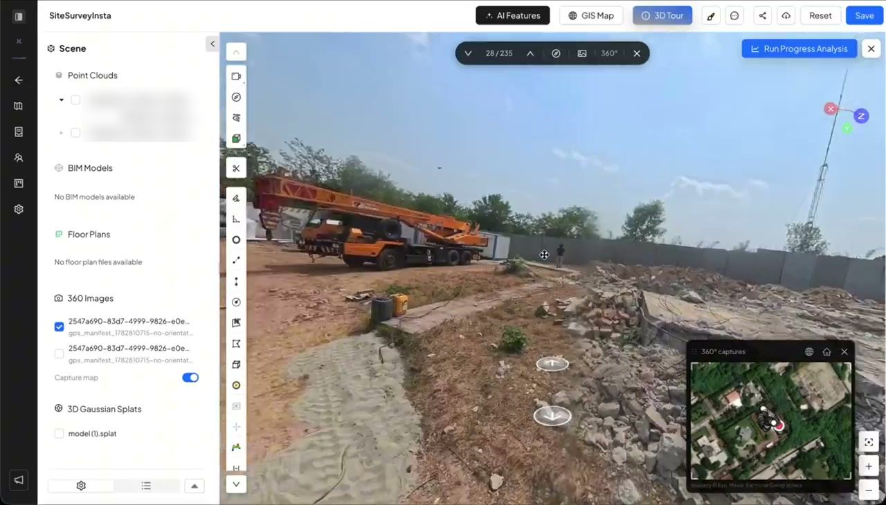
From two dated walks, SpatialSense writes a station-by-station progress report tied to the images, as a PDF.
Comparing captures over time is one of the features people praise most in reviews of 360° site tools. The work around it is what slows them down.
No two walks stop in the same places, so you hunt for the nearest photo on the other date by hand.
Even at the right stop, the two photos point in different directions until someone turns them.
If comparing takes an hour, the comparison gets skipped, and the walk becomes a record nobody uses.
When finding the match takes a click, comparing becomes part of the weekly routine, and progress gets checked while there is still time to act on it.
Two dates, or a photo and the model, in one split view.
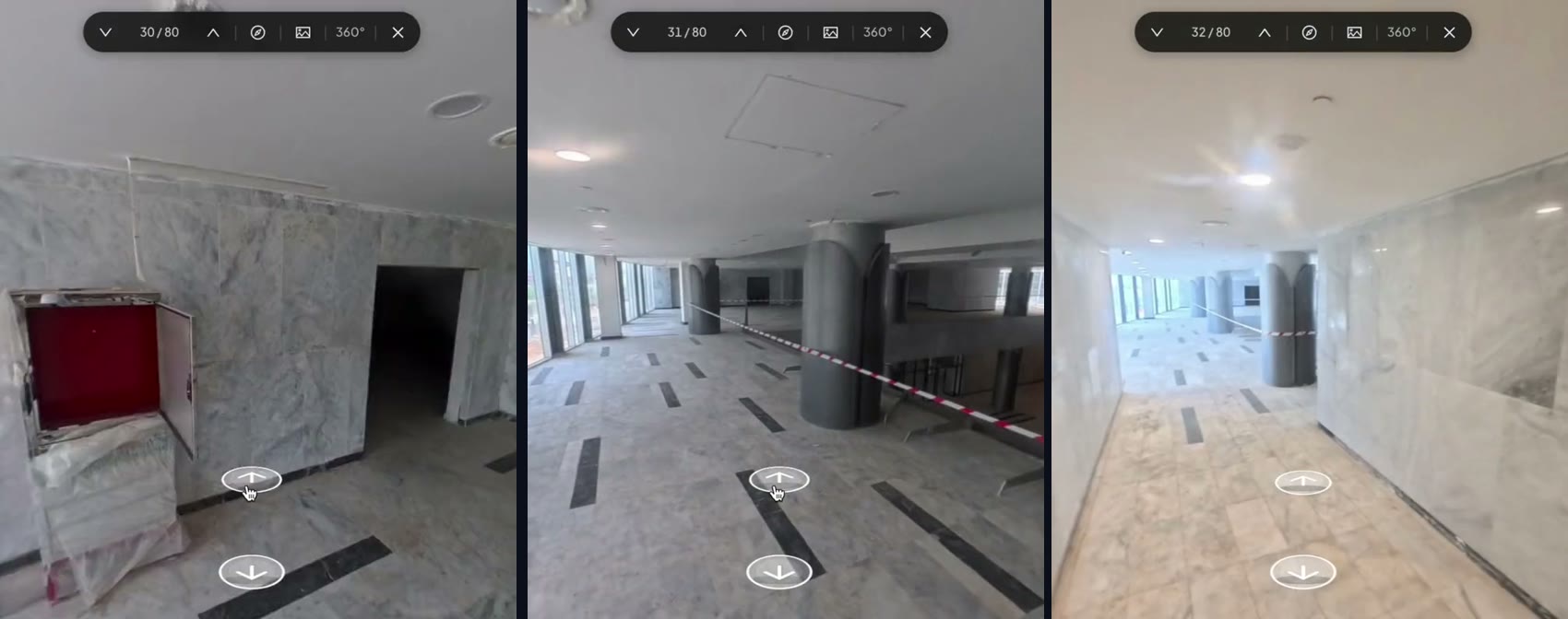
Step along the walk and the comparison follows you, stop by stop.
Repeat the route on each visit, and every new walk can be compared with any earlier one.
The same two visits, compared two ways.
| Compare 360 in SpatialSense | Comparing by hand | |
|---|---|---|
| Finding the same spot | The nearest photo on the other date is found for you. | Scroll through both walks and guess. |
| Facing the same way | Turned to match, and locked together. | Turn each view by hand. |
| Which walks | Any 360° set in the project. | Usually the last two. |
| Next week | Compare View remembers your layout. | Start again. |
| Writing it up | A progress report from two dated walks, as a PDF. | Screenshots in a slide deck. |
Two walks of the same area are all you need.
Upload each walk to its own dated survey in SpatialSense, open Compare 360 and pick a photo. It finds the nearest photo on the other date, turns it to face the same way, and keeps both views locked as you look around.
It helps. Compare 360 finds the nearest photo on the other date and shows how close the match is, so similar routes give the closest matches.
Walks recorded in Trace use the Insta360 X4 or X5. Footage from any other 360° camera can be uploaded through the browser.
Yes. Split view locks 360° photos, the BIM model and the point cloud together, so turning one turns the others. To compare two scans, see compare point clouds.
Yes. From two dated walks SpatialSense writes a station-by-station progress report tied to the images, delivered as a PDF.
Walk the site each visit, and let SpatialSense line up the dates for you.