

The path on the floor plan
Click any point on the plan and step into the walk at that spot.
Trace, the SpatialSense capture app
With Trace, nothing is lost. Trace is the phone app your site team uses to record the walk. It records with no connection, then sends the walk to SpatialSense once you have signal, where it opens in a browser with its path drawn on the plan.
Trace is where the walk starts: it records the footage on site. SpatialSense is where the walk ends up, so everyone on the project can open it in a browser.
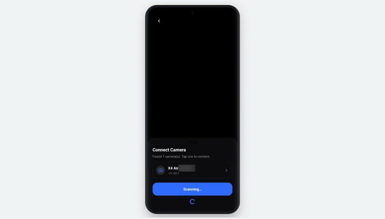
Switch on the 360° camera, tap Scan for Camera in Trace and pick it from the list.
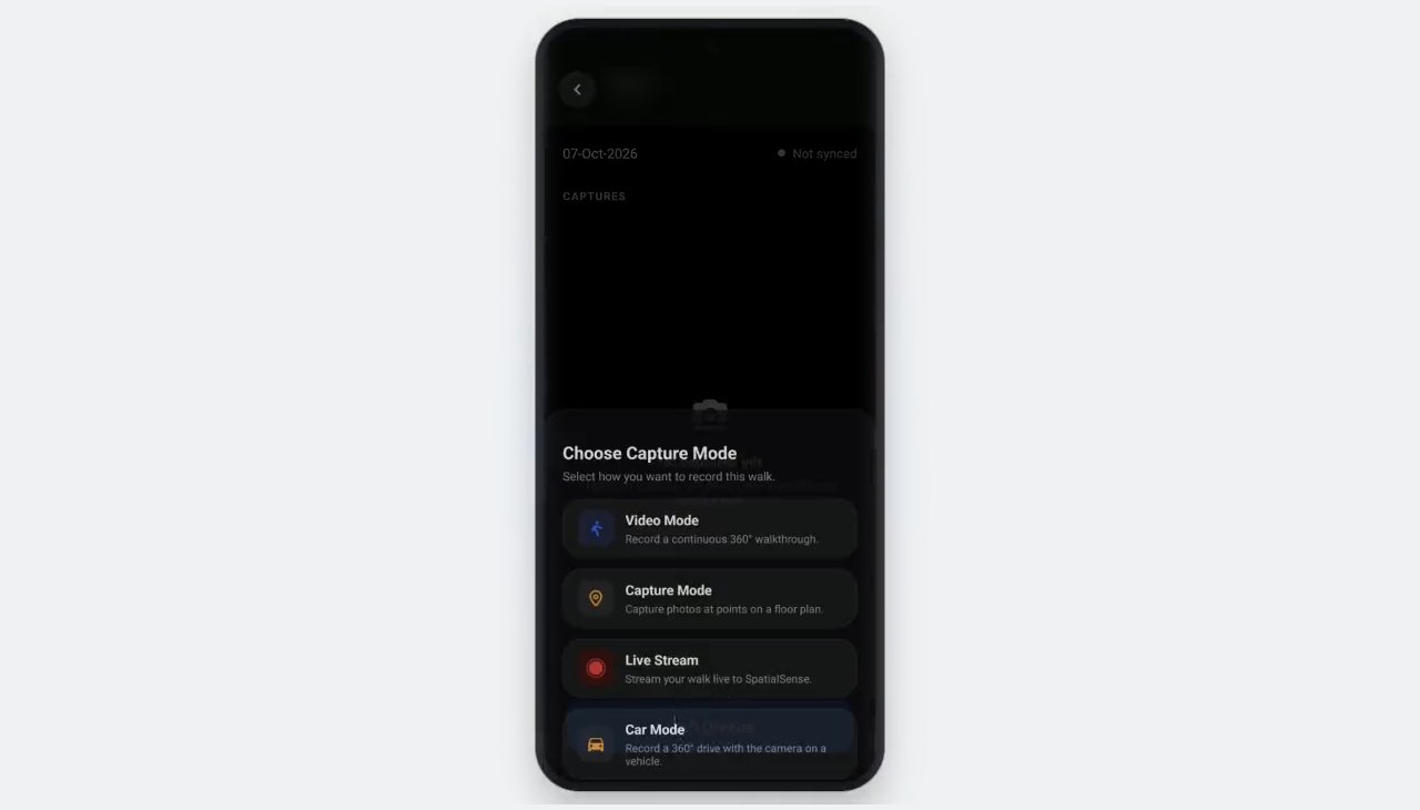
Pick Video Mode to cover ground or Capture Mode for fixed points, then walk. Every Video Mode frame carries GPS and a timestamp.
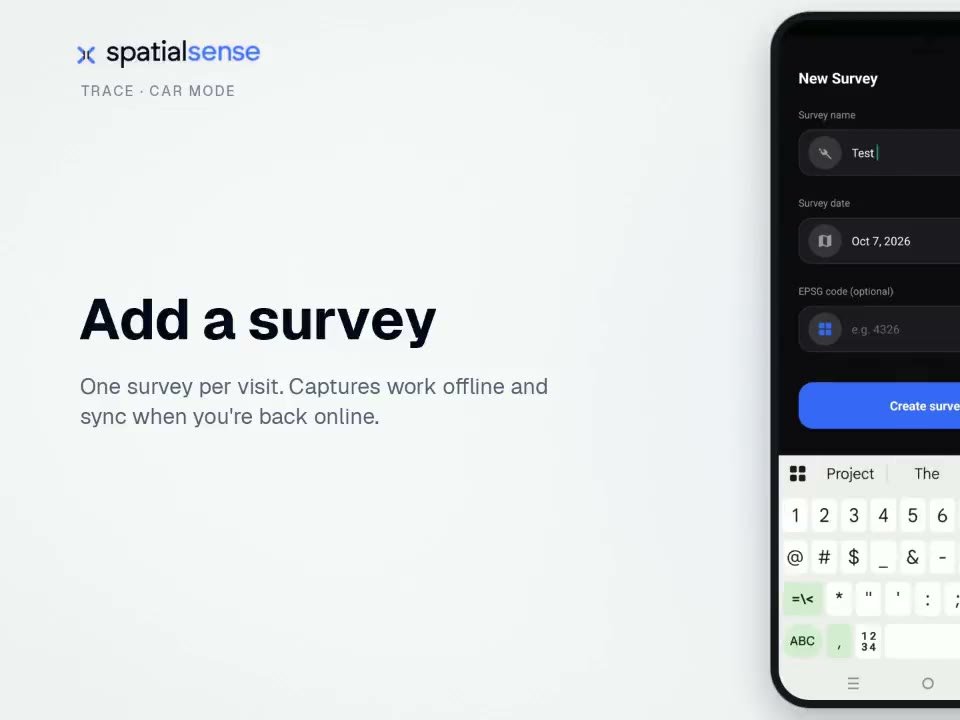
Record without choosing a project, then tap Assign to Survey once you are back online. A walk is never lost because the signal dropped.
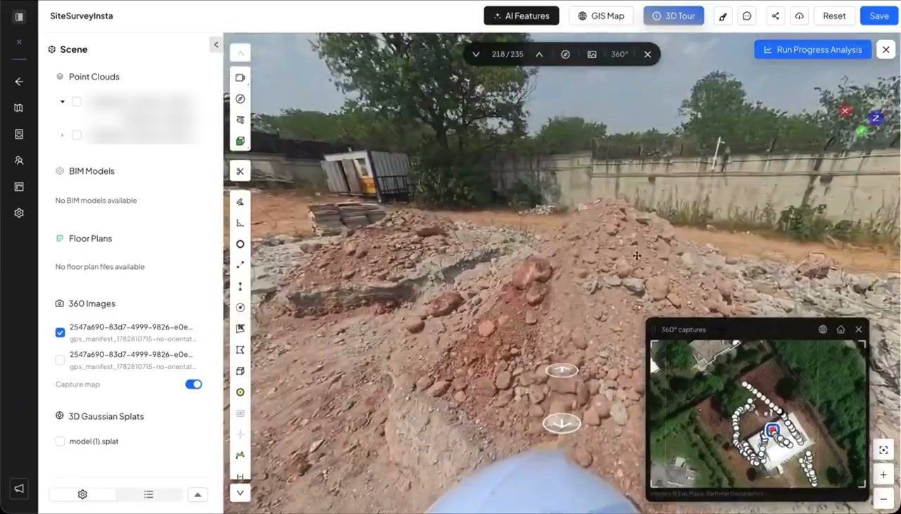
Upload when you have signal. The walk opens in a browser with its path drawn on the plan or the map.
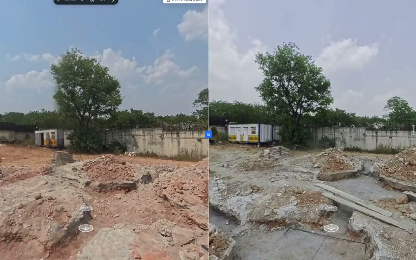
Raise issues on the walk, compare it with last week and send the report.
Lost walks are the most common complaint we found in reviews of 360° site-walk apps: long recordings that corrupt, uploads that stall, and queues that only clear after reinstalling the app. Trace lets you record with no signal at all. You start the walk without choosing a project or survey and assign it once you are back online, so a walk is never lost because the signal dropped.
Before writing this page we read app-store reviews, release notes and forum threads for the main 360° walk apps. Capture apps score well below the platforms they feed, and the reasons are nearly always about the walk rather than the dashboard.
Reviewers describe long recordings that corrupt, uploads that stall on good Wi-Fi and queues that only clear after reinstalling the app. One group said about one walk in four was lost.
Release notes across 360° walk apps chase the newest camera models for months, so a crew with the latest camera can find that it does not pair yet.
When a walk lands in the wrong place, someone fixes it by hand or through a support ticket, and that job usually falls on the project engineer.
Each lost or misplaced walk teaches the crew that walking is optional, and within a few weeks the walks stop. Keeping the walk when the signal drops, and placing it on the plan without anyone touching it, is what keeps the routine going.
Click any point on the plan and step into the walk at that spot.
Step through every stop of the walk, with the route on the map beside you.
Mount the camera on a vehicle and Trace records a 360° drive along a planned route.
What happens on the morning of the walk.
| Trace | What reviewers describe elsewhere | |
|---|---|---|
| No signal on site | Record anyway, then assign the walk to its survey once you are back online. | Walks that stall, corrupt or vanish before they reach the cloud. |
| Placing the walk | The path is drawn on the floor plan when the walk uploads, if the plan was added first. | Misplaced captures fixed by hand or by support ticket. |
| Cameras | Insta360 X4 and X5 in Trace; footage from any other 360° camera through the browser. | A supported list that lags behind new camera models. |
| Help at seven in the morning | One-to-one with a person at Kodifly, 24 hours a day, 7 days a week. | Often a ticket queue. |
| After the walk | The whole team opens it in the browser, with any two dates side by side. | Licensed users, with outside sharing that varies. |
Trace access is set up with you on a demo, so the first walk is right from the start.
Yes. In Trace you can record without choosing a project or survey, then tap Assign to Survey once you are back online. A walk is never lost because the signal dropped.
Trace is the phone app your site team uses to record the walk with a 360° camera. SpatialSense is the platform the walk is sent to, where the whole team opens it in a browser, raises issues, compares dates and writes reports.
Trace records with the Insta360 X4 and X5. Footage from any other 360° camera can be uploaded to SpatialSense through the browser instead of recorded in Trace.
Yes, if you add the floor plan before you walk. When the walk uploads, it opens in SpatialSense in the browser with its path drawn on the plan.
Trace is live, and access is set up when you book a demo. You can also start a 30-day free trial of the platform with no card details and upload 360° footage through the browser.
Book a demo and we set up Trace on one of your sites. Your team then opens every walk in SpatialSense, in the browser.