

Large, busy zones
Stations suit zones where a lot happens between visits: cores, decks, excavations.
Fixed LiDAR stations
A walk records the moments someone was on site with a camera. Pours, lifts and backfills happen in between. Fixed LiDAR stations scan the work zone every 15 to 30 minutes, round the clock, with nobody there to start them, and every scan lands in SpatialSense.
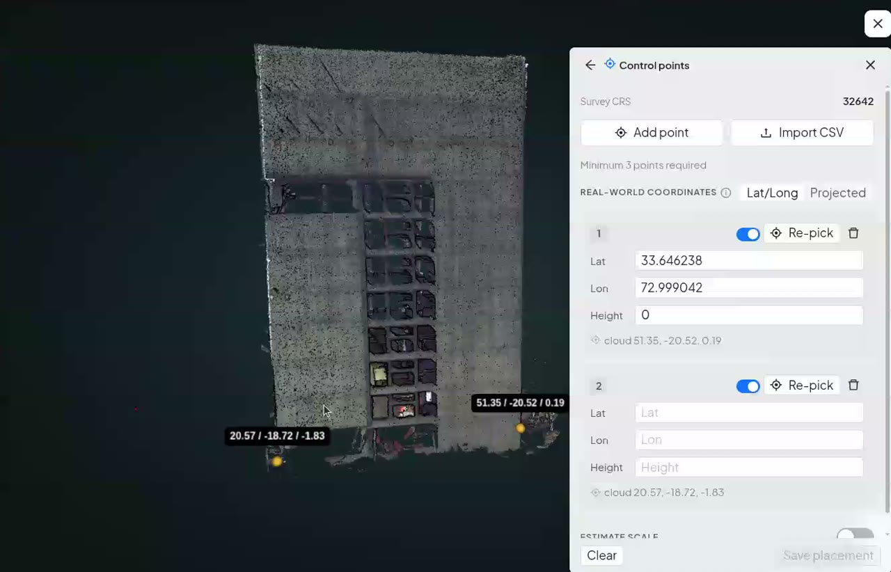
Scan at 15:00 · in the record
Dated, placed and ready to compare with any other scan or walk.
Walk-based capture is periodic: however good the walk, it covers the moments somebody was on site holding a camera. A fixed LiDAR station keeps scanning. It produces a full point cloud of its zone every 15 to 30 minutes, around the clock, with no operator, and SpatialSense keeps every scan dated and placed, so work that was covered the same day is still in the record. Our longest-running installation, on a public works site in Hong Kong, has been scanning for more than two years.
The station does the capturing. SpatialSense is where the scans end up, next to everything else on the project.

LiDAR stations are mounted on poles or structures that look over the working zone.
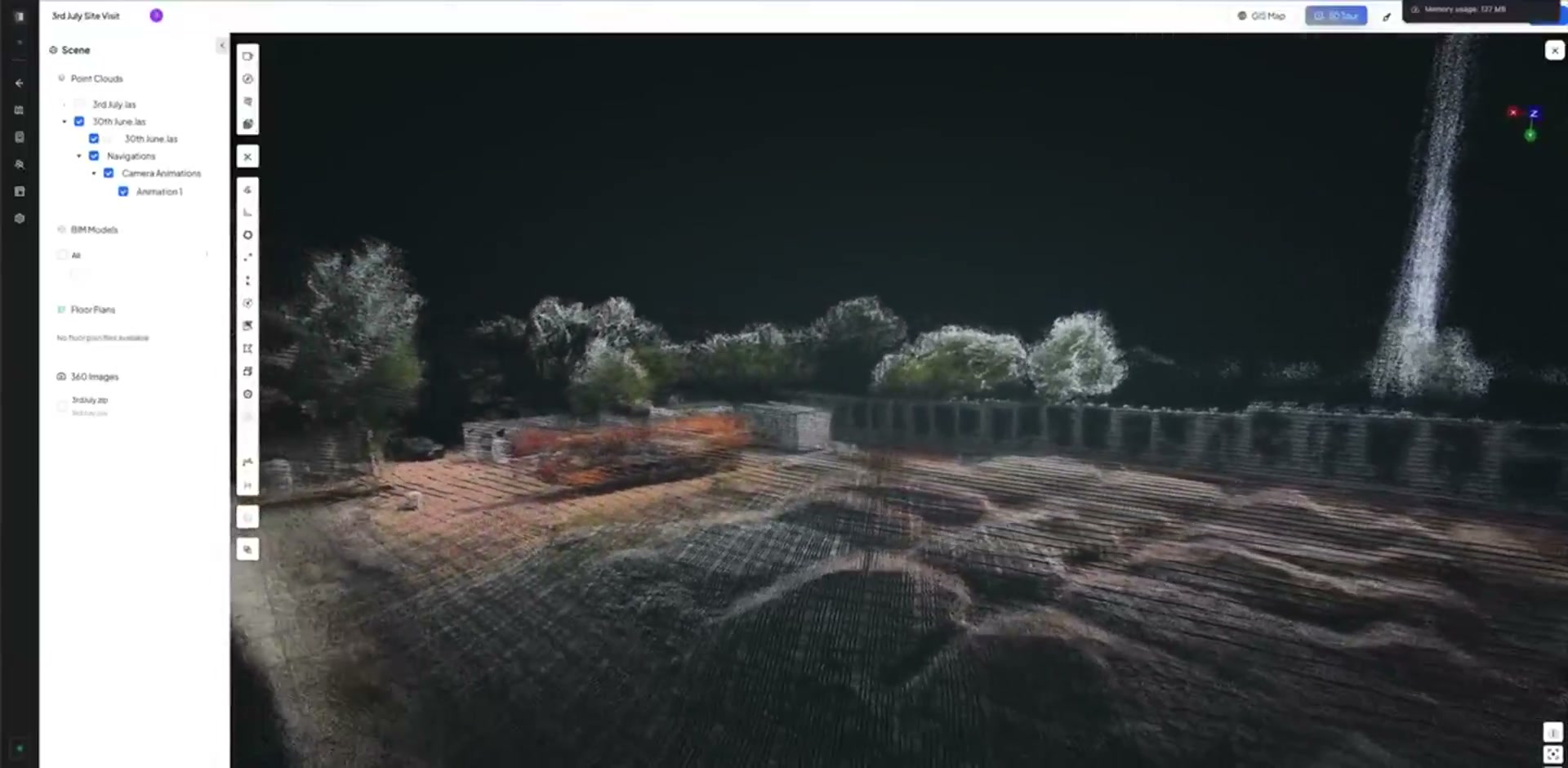
Each station produces a full point cloud of its zone every 15 to 30 minutes, day and night, with nobody on site to start it.
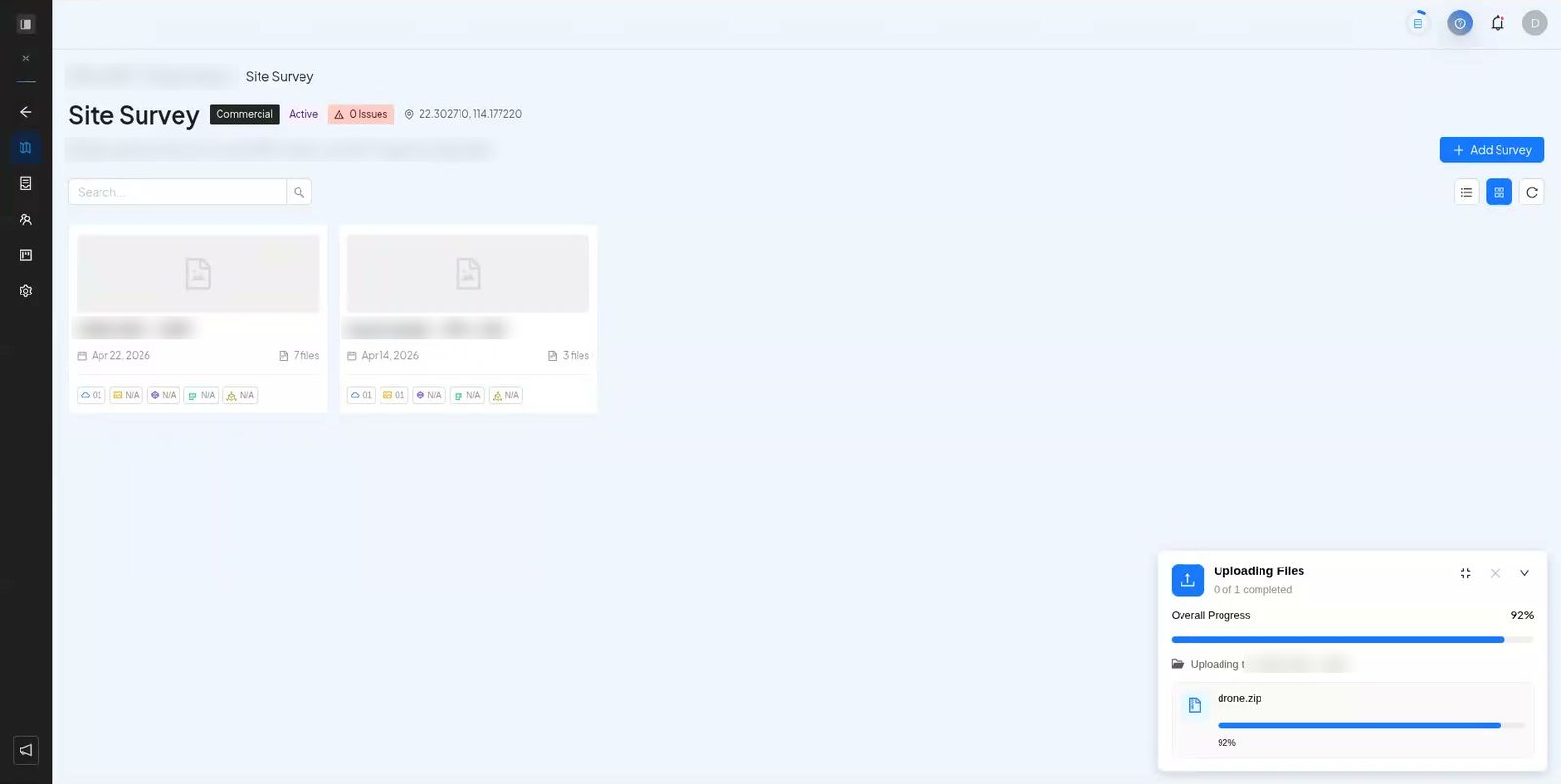
Every scan lands in the project, dated and placed, next to your 360° walks and drone flights.
Reviews of site-capture tools praise the walk. The gap is everything that happens when nobody is walking.
Once a pour is finished or a trench backfilled, what is inside can no longer be seen.
A walk happens when someone has the time, which is rarely when the critical work happens.
Shifts outside office hours are the hardest to cover with a camera in someone’s hand.
Walks stay the best way to see a whole site in detail. A fixed station watches the zones where timing matters, so the record has no blank hours.
Stations suit zones where a lot happens between visits: cores, decks, excavations.
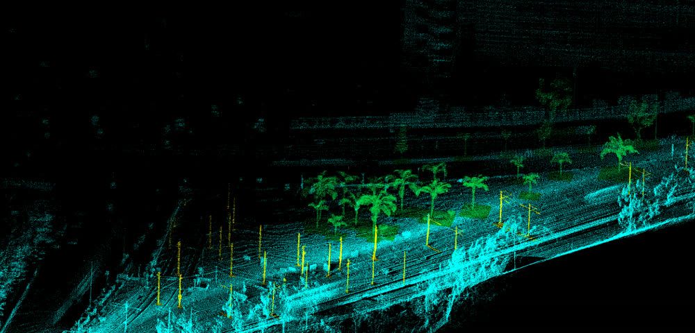
Each scan is a full point cloud of the zone, so you can measure on it like any other scan.
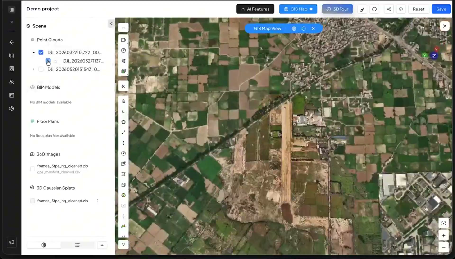
Fixed scans sit with your walks, drone flights and issues, so nothing lives in a separate system.
They do different jobs, and most projects need both.
| Fixed LiDAR stations | Periodic walks | |
|---|---|---|
| How often | Every 15 to 30 minutes, around the clock. | When someone walks: daily, weekly or less. |
| Who captures | Nobody. The station runs on its own. | A person with a camera. |
| What it covers | The zone each station looks over, in full 3D. | The whole route, in 360° photos. |
| Best for | Critical zones where timing matters. | Seeing the whole site in detail. |
| Where it ends up | In SpatialSense, dated and placed. | In SpatialSense, dated and placed. |
Every site is different, so this starts with a conversation.
Fixed LiDAR stations mounted around the site scan their zone on a schedule, with no operator. In SpatialSense each station produces a full point cloud every 15 to 30 minutes, day and night.
A walk covers the whole route in detail, at the moment someone walks it. A fixed station covers one zone, all the time. Most projects use walks for the whole site and stations for the zones where timing matters.
Our longest-running installation, on a public works site in Hong Kong, has been scanning for more than two years.
Yes. Every scan is dated and placed, so you can open any two side by side, or measure the change between two point clouds.
Book a demo and we look at your site together. The SpatialSense platform itself has a 30-day free trial with no card details, for your walks, drone flights and scans.
Keep a record of the hours nobody walks. Book a demo, and we plan the zones worth watching on your site.