

Plants and plant rooms
Dense scans of pipework and plant rooms open in the same viewer as everything else.
Point clouds and BIM
Because a full-site scan is a lot of data for a model to draw in every view. Keep Revit for modelling. For looking, measuring and sharing, SpatialSense opens the whole scan in a browser, with your IFC model laid over it.
Revit is built to model, and it does that well. A full-site scan is a different kind of data: millions of points that every view showing it has to draw. Cropping and splitting the scan helps the people who model. The people who only need to look at it, measure it or show it to a client still wait for a workstation. SpatialSense gives them a second place to open it: the whole scan in a browser, with the IFC from Revit laid over it.
Your modelling stays in Revit. This is for everyone who needs to look at the scan.
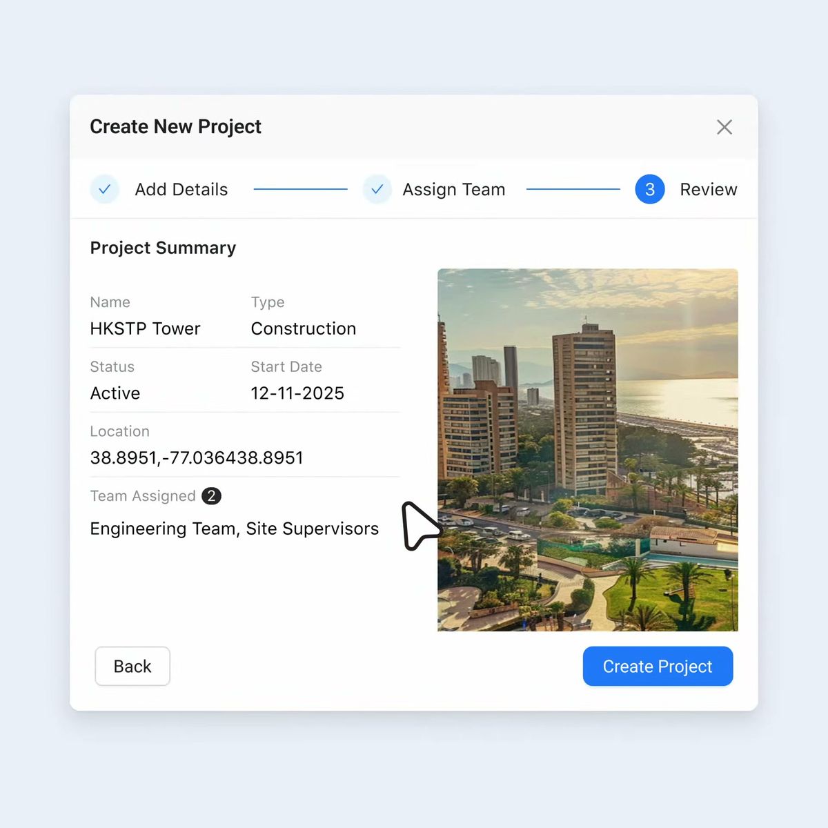
Give it a name and a type: building, highway, bridge, tunnel or railway.
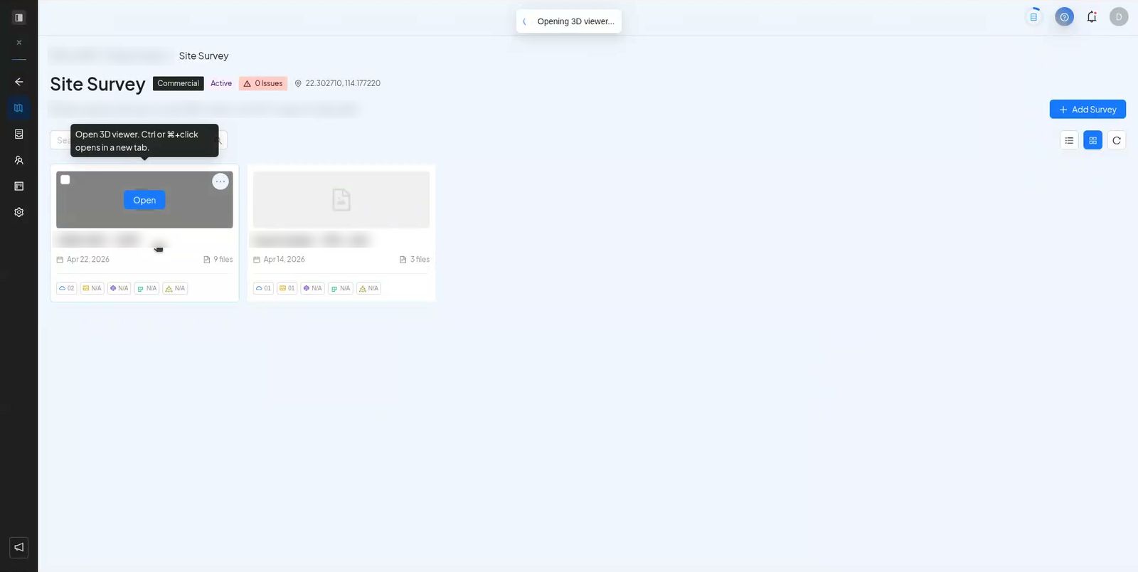
Add the point cloud as E57, LAS, LAZ, PCD or PLY, and the model exported from Revit as IFC.
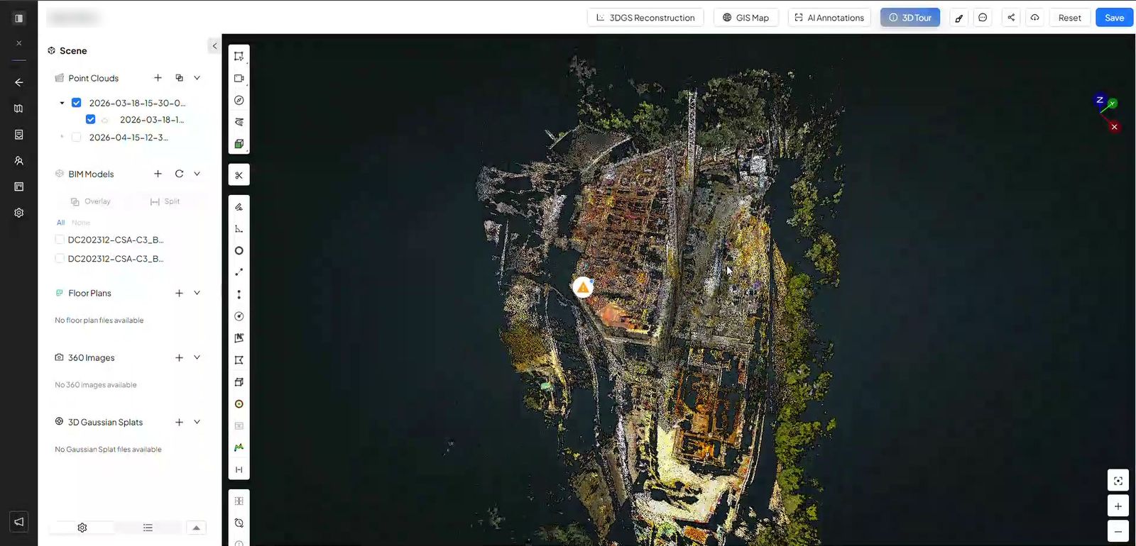
The full scan opens in the 3D viewer, in a browser, with nothing to install.
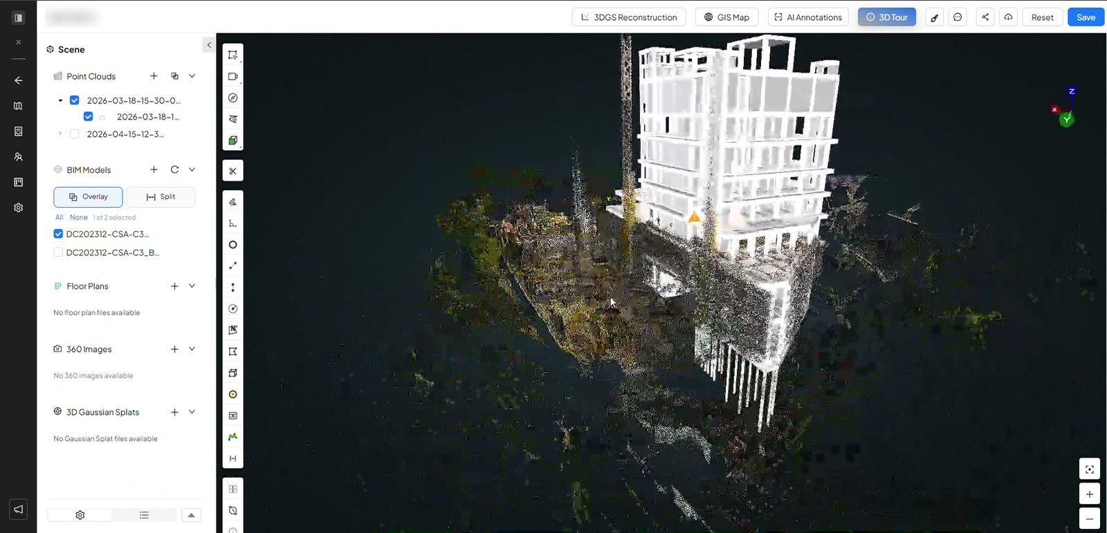
Choose Overlay and fade the model in and out with the opacity control.
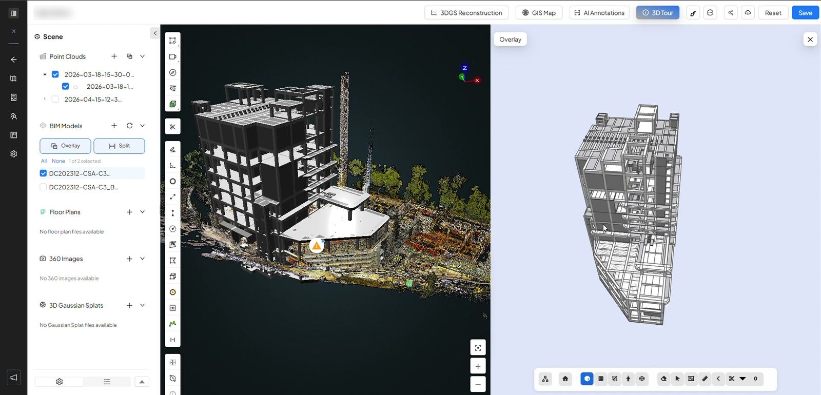
Choose Split to see the scan and the model next to each other.
Questions about slow point clouds have run on user forums for years. The reasons are mostly about what a scan is, not about any one program.
A linked point cloud is drawn in each view that shows it, so a model with many views has a lot of drawing to do.
Faster scanners and more setups per visit mean each new scan is larger than the last one.
Project managers, clients and site teams often only need to look and measure, yet the scan sits inside the modelling file.
The usual fixes help inside the model: link only the scans or regions you need, crop with a section box, and hide the point cloud in views that do not need it. For everyone who only needs to look, open the scan somewhere built for looking.
Dense scans of pipework and plant rooms open in the same viewer as everything else.
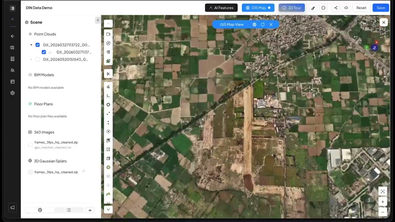
Georeferenced scans sit on the map, so you can see where each one was taken.
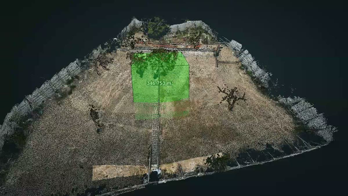
Drone and laser surveys of open ground sit in the same project as your building scans.
Each is good at a different job.
| SpatialSense in a browser | A scan linked in the model | |
|---|---|---|
| Who can open it | Anyone you invite, with unlimited users, or anyone with a share link. | People with the software, a licence and the files. |
| What they need | A web browser. | A workstation that can carry the model and the scan. |
| Model on the scan | Overlay or split view with the IFC exported from Revit. | Native, inside the model. |
| Measuring | On the scan, on sections, and between the scan and the model. | The tools in the model. |
| Modelling | Not what SpatialSense is for. Keep Revit. | The right place for it. |
Two ways in, both free to start.
Link only the scans or regions you need, crop with a section box, and hide the point cloud in views that do not need it. Working from a local copy rather than across a network can also help. For people who only need to view and measure, open the scan in a browser instead.
Yes. Export the model as IFC, upload it with the scan and choose Overlay or Split. The model needs to be georeferenced or aligned with the scan.
No. Revit is for modelling. SpatialSense is for opening, checking, measuring and sharing scans and models, with 360° walks and drone flights in the same project.
E57, LAS, LAZ, PCD and PLY, from any scanner. Models open as IFC.
Yes. LAS, LAZ, PLY, IFC, GLB and splat files open free in the Lite Viewer. The full platform has a 30-day free trial with no card details.
Keep modelling where you model. Open the scan where everyone can see it.