How Often Should You Record Your Site? Before Work Gets Covered Up, Not Just Once a Week
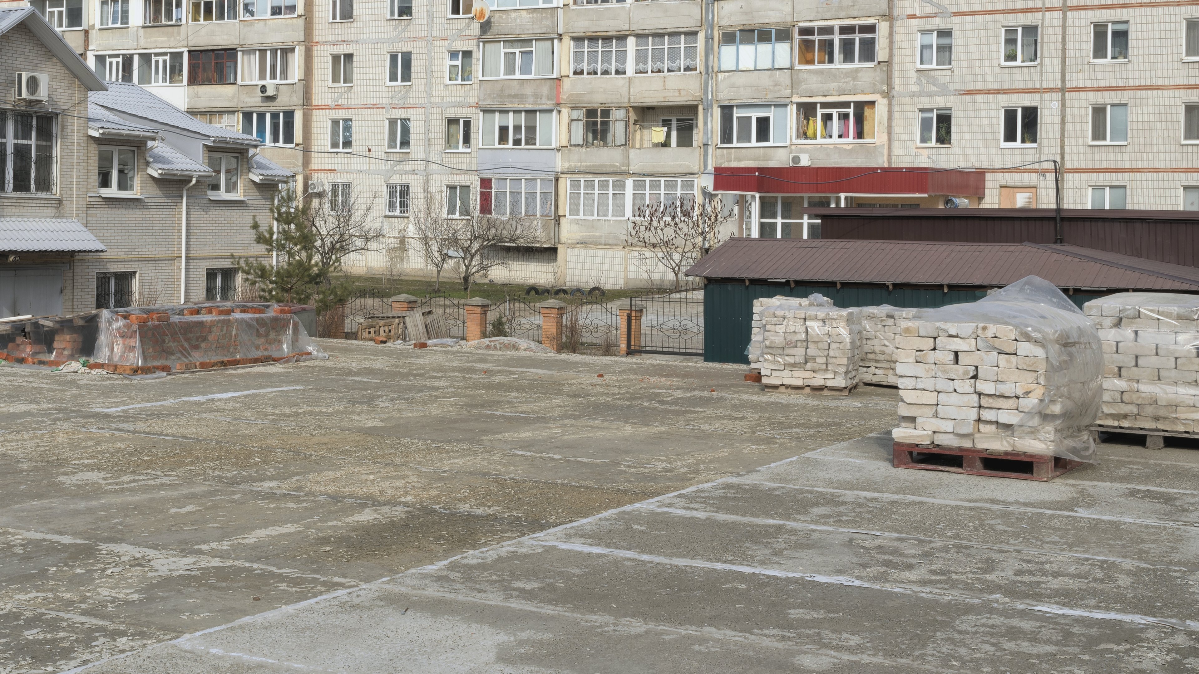

It's Thursday afternoon, and the walk you planned for this morning didn't happen because the pour on level 4 was brought forward. The ceiling boards on level 3 go up on Monday, so whatever sits above them is on record only if somebody walks that floor tomorrow. Nobody will notice the gap this week, but it surfaces months later, when a leak or a claim lands on that ceiling and someone asks you what it looked like before it was closed.
Most teams answer "how often?" with "weekly, plus milestones", and then decide on the day whether this milestone counts, which is how a Thursday like that happens. The rule that holds up is to capture before every decision that will later need proof: a weekly route walk, plus a walk on each payment cut-off date, before each area is covered and when one trade hands an area to the next, with fixed scanners on zones that change between walks. The way capture is changing this autumn makes that rule easier to keep.
Capture is moving to while the work happens
At the end of October, plant trade press reported a retrofit guidance kit for dozers, wheel loaders and dump trucks that records georeferenced as-built data automatically as the machine moves (Project Plant, 29 October 2026), and coverage the next day added that this data can reduce the need for routine progress surveys (International Mining, 30 October 2026). Fixed LiDAR stations do the same for structures, because they sit on poles over a work zone and scan it on a schedule with nobody there to start them, which is how continuous LiDAR monitoring fills the hours between walks.
Once earthworks and busy zones record themselves, the walk no longer has to catch everything. Its job narrows to the parts of the site that machines and fixed stations can't see, at the moments when a later decision will depend on them.
Which decisions need a capture behind them?
The payment application is the easiest to plan, because its date is fixed months ahead. One city's standard specification requires progress photographs with every monthly application for payment, taken to coincide with its cut-off date, and treats an application without them as incomplete (City of Tomball, Section 01322). Even where your contract is silent on photographs, a walk on the cut-off date means the work you claim and the record you hold describe the same day.
Cover-ups matter most, because they are the only captures you can never repeat. One university's construction specification asks for concealed utilities to be photographed after inspection and before slabs are poured, trenches backfilled or walls and ceilings closed, on top of its monthly progress shots (Caltech, Section 01 32 33). The programme sets those dates, so the walk should belong to whoever knows when close-in happens, and our post on what to capture before the walls close has the checklist.
Trade handovers are the capture most teams forget, although the state of a floor on the day the services trades hand it to the drylining crew decides who pays for damage found later, and a dated walk at handover gives both trades the same record to point to.
The weekly route walk ties the rest together, because walking the same route on the same day gives the progress meeting one shared picture, and repeated viewpoints let you lay any week against any other.
Capture rhythms and what each one catches
| Rhythm | Usually captured with | What it catches | What it misses |
|---|---|---|---|
| Monthly, on the cut-off date | A 360° walk, plus a drone flight on open sites | The work the payment application claims, on that day | Anything built and covered between cut-offs |
| Weekly, same route | A 360° walk with a helmet camera | Progress for the meeting and the client | Work covered within the week |
| Before each cover-up | A walk of the area about to close | Services, fixings, rebar and waterproofing | The rest of the floor |
| At each trade handover | A walk of the area changing hands | The condition it was handed over in | Damage done after the walk |
| Daily | Walks or drone flights over fast zones | Fast change in decks, repeated bays and earthworks | Night and weekend shifts |
| Continuous | Fixed LiDAR stations; earthworks machines that record as they work | Pours, lifts and backfills in the watched zone, at any hour | Everything outside the zone or the machine's path |
A weekly walk on its own misses anything poured and covered between walks, whereas a fixed station misses everything outside its zone, so most sites run three or four of these rhythms and let each one cover another's gaps.
How to set the rhythm for your site
Mark every payment cut-off, planned pour, close-in and trade handover in the next month of your programme, then put a capture and a named person against each one. Fill the weeks between with the route walk, and look for zones that change so fast that a weekly walk only ever sees the result. Cores, decks and excavations often do, and that is where a daily walk, a drone flight or a fixed station is worth its cost, as our comparison of drone, 360° camera and LiDAR explains. Where your earthworks machines already record as-built data, let that record carry the quantities and walk for what they can't see, such as drainage and temporary works. Once the rhythm follows the programme, "what did it look like before it was closed?" gets its answer from the record, and you are the one whose site is on record at every moment that matters.
- Every ThuRoute walkSame route and day, for the progress meetingRoute A
- Fri 9 OctBefore close-inLevel 3 ceiling void, before the boards go up on MondayL3 east
- Wed 14 OctTrade handoverServices hand level 2 to the drylining crewL2
- Tue 20 OctBefore the pourLevel 4 deck: rebar, sleeves and fixingsL4 deck
- Fri 30 OctPayment cut-offFull walk, plus a drone flight of the open siteAll areas
Where SpatialSense fits
Several rhythms only work if every capture lands in one place, because a pre-pour walk and last night's scan of the core make weak evidence when they sit in different folders. SpatialSense keeps 360° walks, drone flights and laser scans in one project, each dated, so any two dates open side by side from one locked viewpoint.
Your team records walks with the Trace app and a 360° camera on a helmet, and Capture Mode pins the same viewpoints on the floor plan on every visit, so this month's cut-off walk lines up with last month's. Trace keeps recording in a basement with no signal, and you assign the walk to its survey once you are back online. Drone footage uploads into the same project for photogrammetry, and fixed LiDAR stations can scan a zone every 15 to 30 minutes with nobody on site, as one Hong Kong public-works installation has done for more than two years. From two dated walks, SpatialSense writes a station-by-station progress report tied to the images, as a PDF.
On a thirty-week new build in Islamabad, the people already walking the site made seven dated captures in twenty-four days with no survey crew, taking the record from bare ground to a full steel frame.
If your contract asks only for monthly photographs and the job is a single storey with little hidden work, a phone and a walk on each cut-off date may be all you need, and a fixed station earns its place only on zones where a lot happens between visits.
Capture. Understand. Take Action.
See SpatialSense on your project
Put a capture against next month's cut-off dates, pours and handovers, and run them on your own site with the 30-day free trial, which needs no card and lets everyone on the project join as a user. During the trial your team uploads 360° panoramas in the browser, and Trace is set up with you when you book a demo.
FAQ
How often should construction progress photos be taken?
Weekly is the common baseline on an active site, and some contracts also ask for a set with each monthly payment application. Add a capture before any work is covered and at each trade handover, because a later question about those moments can't be answered any other way.
Is a weekly site walk enough?
For progress meetings and client reviews it usually is, but it misses work poured, backfilled or boarded over between walks, so add a walk before each cover-up, or a fixed scanner where that happens every day.
Can a construction site be captured without anyone walking it?
Parts of it can, because fixed LiDAR stations scan their zone on a schedule with no operator and some earthworks machines now record as-built data as they work. Interiors still need a walk, since a station only sees the zone it is mounted over.