How Can I Track Construction Costs Without Manual Spreadsheets?

Every cost spreadsheet on a construction project is only as good as the numbers someone typed into it, and most of those numbers come from site reports nobody can easily check. Measured, dated site data gives each of them a source you can open and look at, which makes the budget easier to keep current and far easier to defend.
Pay for what’s actually there
Valuations and payment claims rest on how much work is really complete. When every site walk is dated and mapped to the plan, you can confirm that work reported as complete actually is before it gets paid, and verify quantities against the model. If a variation or a date is disputed later, the answer is on the record, dated and pinned to the exact spot.
Measure instead of estimating
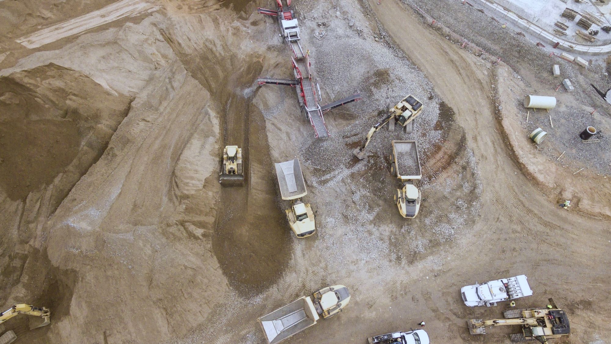
On earthworks, a LiDAR point cloud measures the volume excavated against the target volume, giving you a percent complete you can bill against. The same idea works at the scale of a whole road network. For a government road authority in Saudi Arabia, every pothole is measured for depth and width, rated for severity and given a repair cost, and together those costs make up the authority’s repair budget.
The cost that never makes the spreadsheet
Rework rarely gets its own line in the budget, yet that is where every problem found late ends up. Once work is covered, checking it usually means opening it up again, whereas checking the scan avoids exploratory demolition altogether. Fewer site visits help as well, because the floor can be reviewed from the office.
What it doesn’t replace
SpatialSense doesn’t replace your accounting system or your cost plan. It gives the quantities, progress and evidence behind those numbers a dated source, so whoever updates the budget is working from the site record instead of from someone’s report.
See the record behind your numbers
Book a 30-minute demo and we’ll show you how measured site data backs up quantities and payment claims. Our pricing is built around what each project needs, so you never pay for anything you won’t use.